|
Location From the Longtown to Canonbie road going north, park at the lay-by at the Border. This is the eastern end of the Dyke. It is my understanding that there is a footpath behind the hotel which leads to the Dyke. Do take care as there is no footpath alongside the main road. |
|
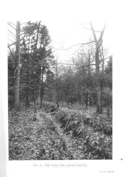
When eventually agreement was reached in 1551, the
Debateable Land was divided
between the two countries, and the boundary was defined by a shallow ditch with the earth thrown up on each side forming two parallel banks which
became known as the Scot’s Dyke.
Some of it still survives and, I understand, can still be traced through the woods. It forms the Border line for about four miles from the rivers Sark and Esk. This is, of course, the present day boundary between Scotland and England.
From James Logan Mack's The Brave Borderline. Debateable LandBack to Border Features
|